
Reading Topographic Maps: Symbols, Contour Lines and Scale
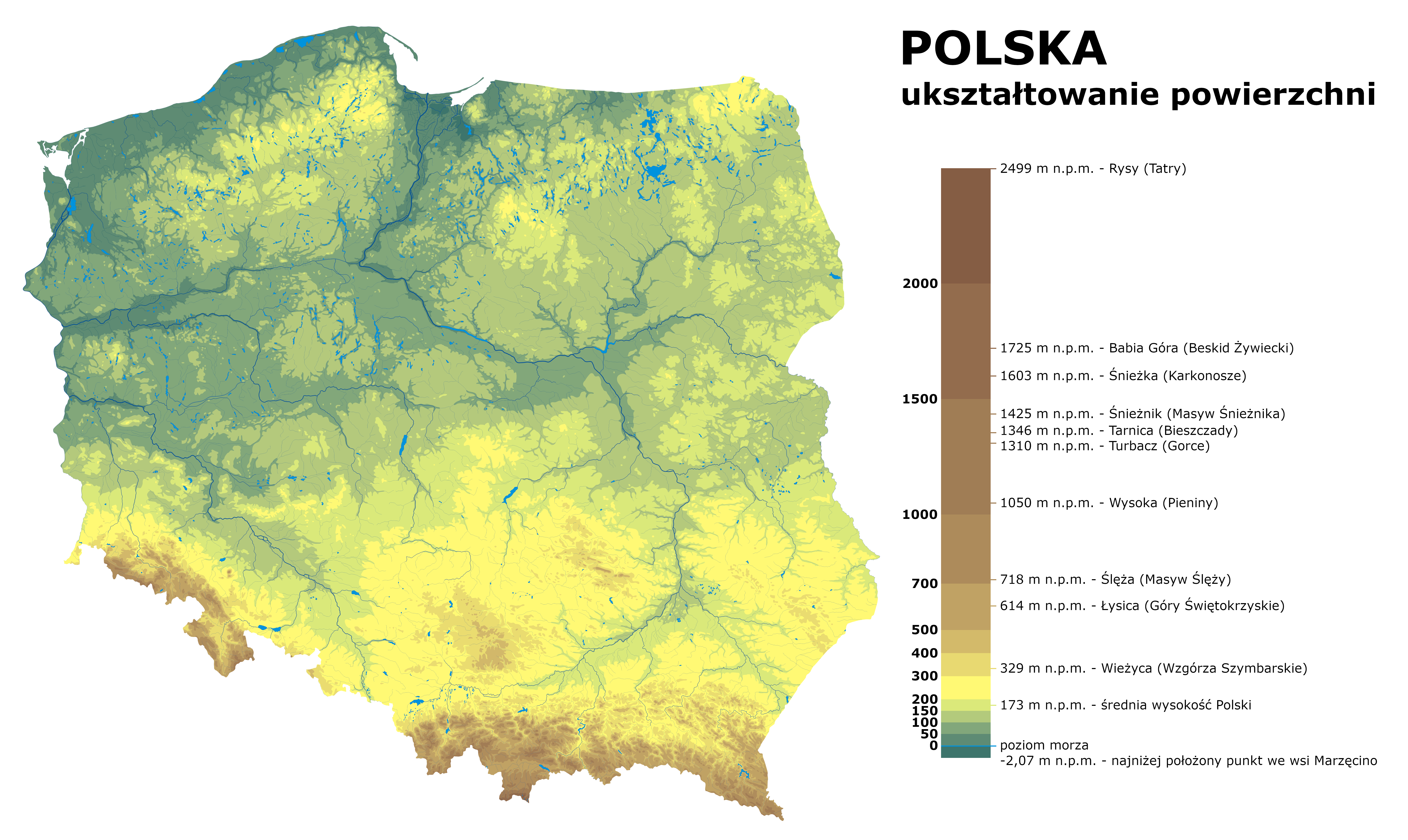
Contour intervals, standard symbols used on Polish military and civilian maps, and how scale affects detail and distance estimation in the field.
Read articleA practical reference covering topographic map interpretation, compass techniques, and terrain-specific navigation across Poland's varied landscapes — from the Mazurian lake district to the Carpathian foothills.

Articles
Three in-depth guides covering the core skills required for map reading and land navigation across Polish terrain.
Contour intervals, standard symbols used on Polish military and civilian maps, and how scale affects detail and distance estimation in the field.
Read article
Types of compasses used in Polish conditions, magnetic declination adjustments, taking bearings, and triangulation for position fixing.
Read article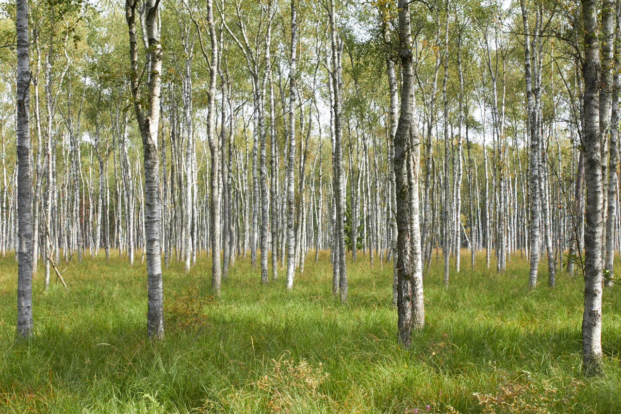
Practical observations on moving through Masovian lowlands, Mazurian marshes, Carpathian hill country, and dense pine plantations.
Read articleIntroduction
Satellite navigation has changed field movement significantly, but topographic maps remain the foundational tool for understanding terrain before and during any outdoor activity in Poland. They convey information — slope steepness, drainage patterns, vegetation density — that no GPS track communicates.
Poland's national mapping agency, the Head Office of Geodesy and Cartography (GUGiK), produces standardised 1:10 000, 1:25 000, and 1:50 000 series maps. These follow conventions largely consistent with NATO STANAG 2169, making them readable to anyone familiar with international topographic notation.
The guides on this site focus on civilian and recreational navigation. They draw on standard cartographic conventions and publicly available reference material from GUGiK and the Polish Armed Forces topography doctrine.
Contact
This site is maintained as a reference resource. If you notice a factual error, outdated reference, or missing information relevant to map reading and navigation in Poland, use the form to send a note.
Responses are not guaranteed. This form does not constitute an editorial submission channel.
ArivaKor
Operated from: Poland (EU)
Contact: info@arivakor.eu