
Compass Types Suitable for Polish Conditions
Two categories of compass are in common field use in Poland: baseplate compasses and mirror-sighting compasses. Each has distinct advantages depending on the task.
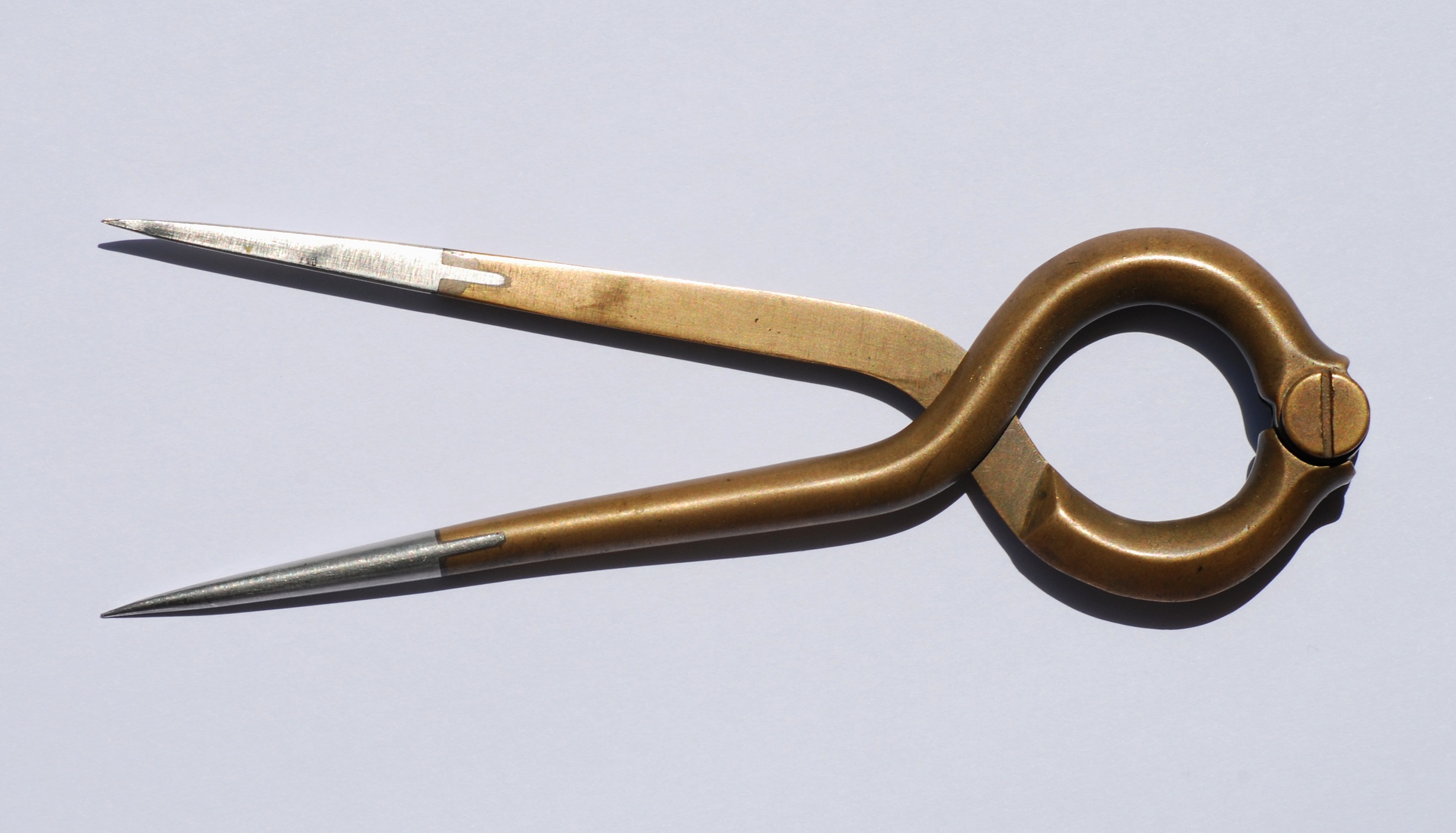
Baseplate (Orienteering) Compasses
The baseplate compass — popularised by Silva and Suunto — consists of a transparent rectangular base with a rotating bezel and a north-seeking needle floating in a liquid-damped housing. The transparent base allows the compass to be placed directly on the map. This design is standard equipment for orienteering and recreational hiking across Poland.
At 1:25 000 scale, the ruler markings on a standard baseplate compass allow direct distance measurement. Most models include mm scale on at least one edge, which corresponds to 25-metre increments on a 1:25 000 map.
Mirror-Sighting Compasses
Mirror-sighting compasses (such as the Suunto A-10 or Brunton 8040 series) add a hinged mirror lid that allows simultaneous sighting of a distant object and reading of the compass bezel. These are more accurate for long-distance bearing work in open terrain — relevant in the Carpathian ridgelines and on the Mazurian plateau where reference points are visible at distance.
Magnetic Declination in Poland
Magnetic north and true geographic north are not the same point. The angular difference between them — magnetic declination — must be applied whenever converting between compass bearings and map grid north, or true north.
In Poland, declination is easterly and varies across the country. As of 2024 values published by the World Magnetic Model (WMM), typical declination values in Poland range from approximately 4.5° East in the eastern provinces (Podkarpacie, Podlaskie) to approximately 5.5° East in the west (Lubuskie, Dolnośląskie). These values change slowly — by roughly 0.1° per year — so a 5-year-old declination value remains operationally useful.
Applying Declination: A Working Rule
When converting a map (grid north) bearing to a compass bearing in Poland: add approximately 5° to the grid bearing. When converting a compass bearing back to a map bearing: subtract approximately 5°. The memory aid used in military training: "grid to magnetic, add; magnetic to grid, subtract" — applies where declination is easterly, as in Poland.
Orienting the Map to Magnetic North
Map orientation means aligning the map so that north on the map corresponds to north on the ground. There are two methods:
Method 1: Using the Compass Needle Directly
Place the compass flat on the map with the baseplate parallel to the map's north-south gridlines. Rotate the map (not the compass bezel) until the compass needle aligns with the declination-corrected north mark on the bezel. The map is now oriented, and the depicted terrain should correspond to the terrain around you.
Method 2: Orienting to a Known Landmark
Identify a clearly visible feature in the landscape — a church tower, hilltop, junction, or lakeside — and locate it on the map. Rotate the map until the map feature is in the same direction from your position as the actual feature is on the ground. This method does not require a compass but depends on positive feature identification.
Taking a Bearing
A bearing is a horizontal angle measured clockwise from north (0° to 360°) to a target direction. The procedure with a baseplate compass:
- Point the direction-of-travel arrow at the target or destination.
- Rotate the bezel until the north mark on the bezel lines up with the north end of the compass needle.
- Read the bearing index at the direction-of-travel arrow. This is the magnetic bearing.
- Apply the declination correction to convert to grid north if plotting on the map.
For travel along the bearing: hold the compass level in front of you, rotate your body until the needle aligns with north on the bezel, then walk in the direction the arrow points. Select an intermediate aiming point (tree, boulder, fence post) in that direction and walk to it before re-checking the compass, to avoid constantly looking down while moving.
Triangulation for Position Fixing
When your position is unknown but you can identify two or more landmarks on both the ground and the map, triangulation (resection) gives a reliable fix. Procedure:
- Identify two clearly visible landmarks — landmarks visible on the map and identifiable in the field (hilltops, church towers, prominent bends in rivers).
- Take a bearing to the first landmark. Apply declination to convert to grid bearing. Draw a line on the map from the landmark back along the reciprocal bearing (add or subtract 180°).
- Repeat with the second landmark. Your position is at or near the intersection of the two lines.
- A third landmark, if available, confirms the fix. Three lines forming a small triangle (cocked hat) indicate measurement error; position yourself at the centroid of the triangle.
Forest Navigation Limitation
In dense Polish pine forests — covering much of Masovia and Pomerania — distant landmarks are rarely visible. Triangulation is not practical in closed canopy. In those conditions, pace counting (measuring distance by step count) combined with compass bearing (dead reckoning) is the standard technique. Calibrate your pace count on flat open ground before entering forest; expect 15–20% reduction in pace length in dense undergrowth.
Back Bearings and Route Verification
A back bearing is the reciprocal of a forward bearing (forward bearing ±180°). Taking a back bearing to your last known point while moving allows you to verify that you are walking in a straight line and to check drift caused by obstacles or terrain.
In Poland's mixed terrain, where forest tracks often diverge from map-depicted routes due to forestry operations, periodic back bearings to the last confirmed feature reduce the risk of accumulating positional error over distance.
References
- NOAA National Centers for Environmental Information. World Magnetic Model 2025. Available at ngdc.noaa.gov.
- Kjellström, B. Be Expert with Map and Compass. 3rd ed. Scribner, 1994.
- US Department of the Army. FM 3-25.26 Map Reading and Land Navigation. Washington DC, 2001. Available via Wikimedia Commons.
- International Orienteering Federation. ISOM 2017-2 International Specification for Orienteering Maps. Available at orienteering.org.